More than just a point
Extract only the most relevant information to speed up and simplify your measurement processes.
Built-in vectorization tools
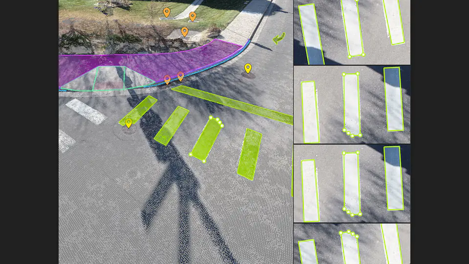
Vectorize your design using points, polylines, polygons, and caten curves in just a few clicks.
Create surfaces
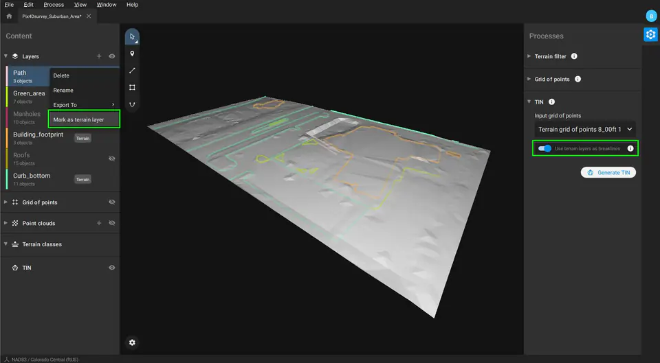
Develop a numerical terrain model using TIN from points and broken lines to map the topography of your project. Automate the creation of point elevations, which will clearly translate into simplification of the point cloud.
Access more data
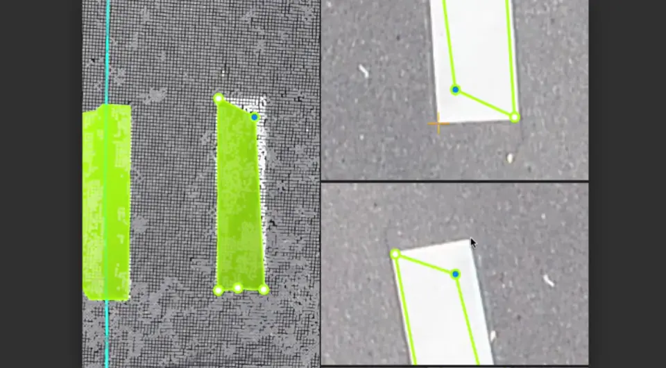
Go beyond photogrammetry, but still work with Pix4D's rayCloud to access original images and 3D point clouds at the same time. Vectorize in 3D, edit in 2D. Even complex objects, such as cavities visible only in photographs, can be measured.
Scale up
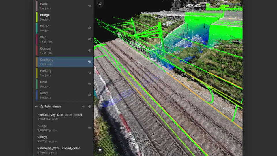
Pix4Dsurvey can handle billions of points. Work with more than one point cloud file at the same time, on the same project.
Integrated solutions
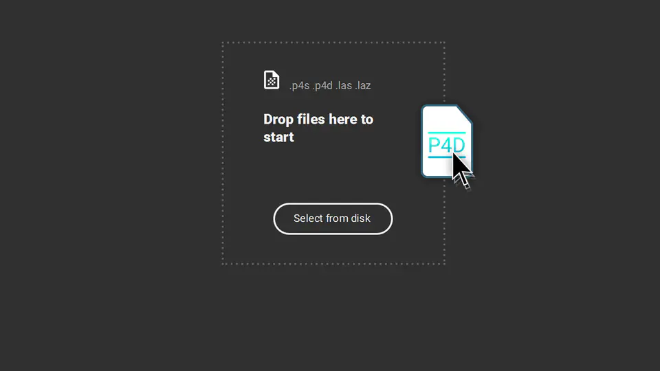
Pix4Dsurvey works with your existing work system. Import .p4d files from Pix4Dmapper with a single button, or work with LAS format files.
Exporting made easier
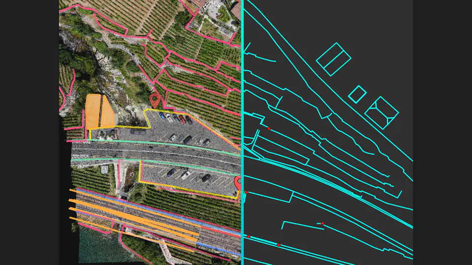
Each object under study can be assigned to a layer and edited. Layers can be exported separately or together, allowing you to seamlessly transition to your preferred CAD or GIS software.
You choose the point cloud
Import projects from Pix4Dmapper, Pix4Dmatic or any .las or .laz file.
Floating Annual License (1 device)
It allows you to install the program on any number of computers and run it at any time on as many systems as indicated by the number of licenses purchased. One computer machine will be designated as a "license server"; the license server tool installed on it will manage the distribution of licenses on the network of computers on which the program is installed.
