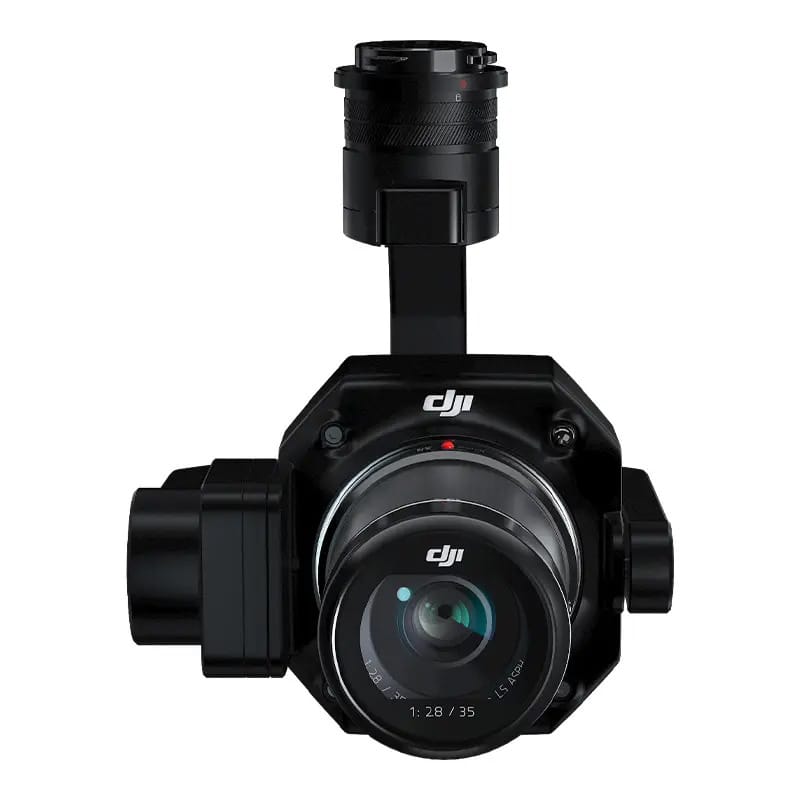
Zenmuse P1 - new quality of measurements
The Zenmuse P1 integrates a full-frame sensor with interchangeable, fixed-focal lenses on a 3-axis stabilized gimbal. Designed for photogrammetric flights, it takes performance and accuracy to a whole new level.
- Accuracy without photo points 3 cm horizontally / 5 cm vertically
- High performance - coverage of 3 km2 in one flight
- 45 MP full-frame sensor
- 3-axis gimbal, smart shots
- Mechanical shutter speed 1/2000 Seconds
- TimeSync 2.0 microsecond synchronization
Outstanding performance
The Zenmuse P1 features a full-frame, low-noise, high-sensitivity sensor that can take a roll every 0.7 seconds during flight and cover 3 km2 in a single flight.
Notable accuracy
Equipped with a mechanical shutter and an all-new TimeSync 2.0 system that synchronizes time between modules at the microsecond level, the Zenmuse P1 allows users to capture data with centimetre accuracy combined with real-time position compensation and orientation technology.
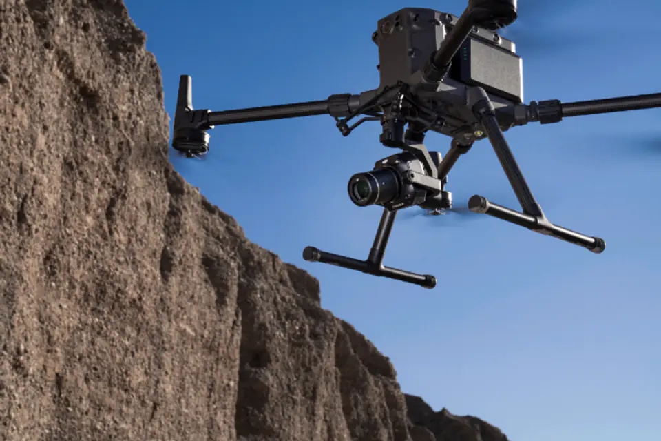
Extreme versatility
Create 2D, 3D models with the integrated 3-axis gimbal that can be equipped with 24/35/50mm lenses and Smart Oblique Capture.
Performance to cover everything - full-frame camera
- 45MP full frame sensor
- Pixel size: 4.4μm
- High sensitivity
- Pictures taken every 0.7 sec
- TimeSync 2.0 synchronizes the camera, flight controller, RTK module and gimbal at the microsecond level.
Flexibility and versatility, multitude of lenses
- 1/2000 Second Mechanical Shutter
- Microsecond exposure sampling
- Supports 24/35/50mm lenses with DJI DL mount
- Work smart, work fast
Smart Oblique Capture
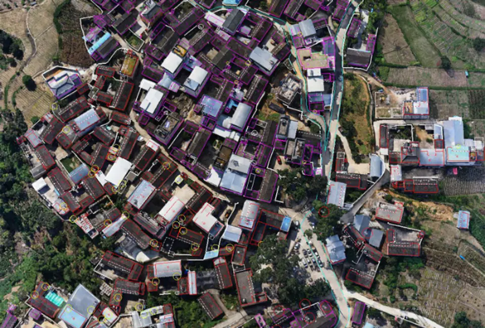
Develop 7.5 km2 of area in one working day with the Zenmuse P1. Boost the performance of your photography mission with Smart Oblique Capture, where the gimbal automatically rotates to take pictures from different angles you need. Only the images necessary for reconstruction will be taken at different angles of the flight area, which will increase post-processing efficiency by 20% to 50%.
Intelligent data management
Managing your mission data streamlined like never before.
- Mission files are automatically associated with the mission name and date
- Centralized storage of images, GNSS data and TimeStamps.MRK files.
- Image metadata includes internal and external camera parameters and RTK status.
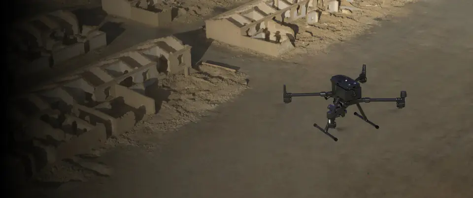
Field Report
Check data quality immediately after flight by verifying position and capture data, as well as RTK status and positioning accuracy.
Mission mode for each scenario
- 2D orthophoto
- 3D Oblique Mission
- Detailed mission for creating models
- Real-time mapping
Applications
Topographic maps
Acquisition of data that meets the requirements of the 1:500 scale accuracy without photopoints.
Cadastral measurements
Quickly generate centimeter, accurate 3D models.
AEC and Geodesy
Manage the full project lifecycle with 2D and 3D data.
Management of natural resources
Measure, classify, or determine the properties of water bodies and forests.
Geological surveys
Securely collect accurate millimetre-level aerial data on geological hazard sites.
Observation of the crash site
Get a real-time overview of the vast areas affected by the disaster to help teams make key decisions.
Specification
Kit Contents
| noTitle1 | INFORMACJE OGÓLNE |
|---|---|
| 787 g | Masa |
| 198×166×129 mm | Wymiary |
| 13 W | Moc |
| IP4X | IP |
| Matrice 300 RTK | Kompatybilne drony |
| -20° do 50° C | Temperatura pracy |
| -20° do 60° C | Temperatura przechowywania |
| W poziomie: 3 cm, w pionie: 5 cm ** Misja mapowania GSD 3 cm i prędkość lotu 15 m/s, z 75% pokryciem frontowym i 55% pokryciem bocznym. | Dokładność |
| KAMERA | |
| 35.9×24 mm (pełna klatka)Rozmiar matrycy (rozmiar trybu Video): 34×19 mmPiksele: 45MPWielkość piksela: 4.4 μm | Rozmiar matrycy |
| DJI DL 24mm F2.8 LS ASPH (z osłoną na obiektyw i ringiem balansującym), FOV 84°DJI DL 35mm F2.8 LS ASPH (z osłoną na obiektyw i ringiem balansującym, FOV 63.5°DJI DL 50mm F2.8 LS ASPH (z osłoną na obiektyw i ringiem balansującym), FOV 46.8° | Kompatybilne obiektywy |
| SD: UHS-1 lub wyżej; pojemność max: 128 GB | Kompatybilne karty SD |
| Fotografie / Pliki obserwacyjne GNSS/ Pliki log | Pliki |
| 3:2 (8192×5460) | Rozmiar zdjęcia |
| Capture, Record, Playback | Tryby zdjęć |
| 0.7 s | Minimalny interwał zdjęć |
| Mechaniczna: 1/2000-1/8 sElektroniczna: 1/8000-8 s*Wartość przysłony nie większa niż f/5,6 | Szybkość migawki |
| WIDEO | |
| MP4 | Format wideo |
| 16:9 (3840×2160) | Rozdzielczość |
| 60fps | Ilość klatek |
| GIMBAL | |
| 3-osiowa (tilt, roll, pan) | Stabilizacja |
| 0.01° | Wibracje |
| DJI Skyport | Montaż |
| Tilt: -125° do +40°; Roll: -55° do +55°; Pan: ±320° | Zakres obrotu |
| Kamera Zenmuse P1 z obiektywem 35mm |
|---|
| DJI Care Enterprise na 1 rok |
| Walizka |
